
Haida Gwaii - Arrival
Once you reach the edge of your world, ours begins. From a Haida Gwaii tourist info booklet
Haida Gwaii, to me, is as much a feeling as it is a place. As soon as I saw its shores (from the second ferry, boarded after a brief six-hour sleep in Prince Rupert), a calm washed over me. This was the beginning of a two-week bike trip on the islands for my husband and I.
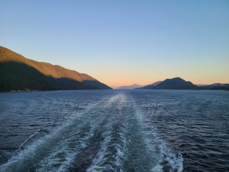
On the languorous ferry ride from Port Hardy to Prince Rupert, ever-present tree-covered hills and islands flanked either side of the ferry – this is the Inside Passage. There is nothing to indicate where you are geographically, unless you check out a digital screen on the wall by the Purser’s desk (like one on an airplane), that shows the ferry’s position on a map in real time. Watching this unending and non-descript wilderness drift by (B.C. is huge!), you start to feel a separation from your worries at home – necessary before going to a place where they don’t have the same meaning, or any meaning.
My husband and I like to mountain bike, but we are not seasoned bike-packers. In fact, our last and only other bike trip was almost thirty years ago when one morning, after several cups of coffee, we looked at a map book of B.C. and noticed that the road from Williams Lake to Bella Coola was called the “Freedom Highway”. We decided we wanted to bike that! Looking back, we’re not entirely sure how we pulled off the almost 500km-long trip (in nine days). We had limited gear and knowledge – but we had much younger bodies, fit from tree-planting. For this trip on Haida Gwaii we had way better gear, but worse bodies.
We disembarked the ferry in Skidegate at 5 pm and got on our bikes. Warren was pulling our gear in his BOB trailer (which is normally used for towing his hockey bag for beer league hockey), and my panniers were stuffed with about two weeks’ worth of dried food. Our original camping plans for the night did not quite pan out, so we rode north, past Balance Rock, using Google Maps as our guide. We found a little trail to the beach marked by a sign hidden in some thimbleberry bushes. Upon closer inspection, I saw it read: “Use this area at your own risk”. We took that as permission to camp.
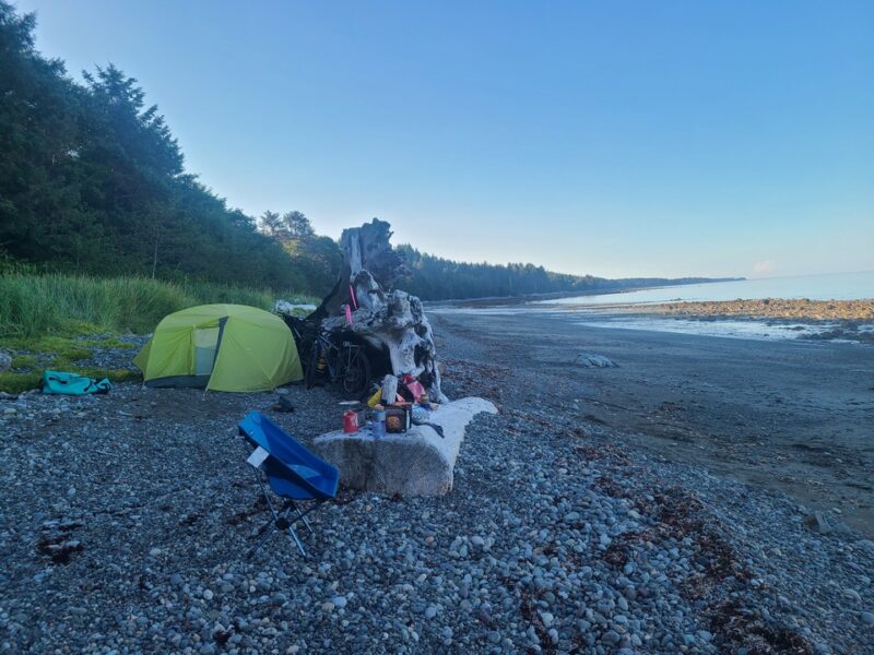
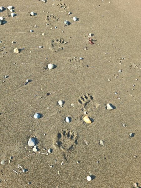
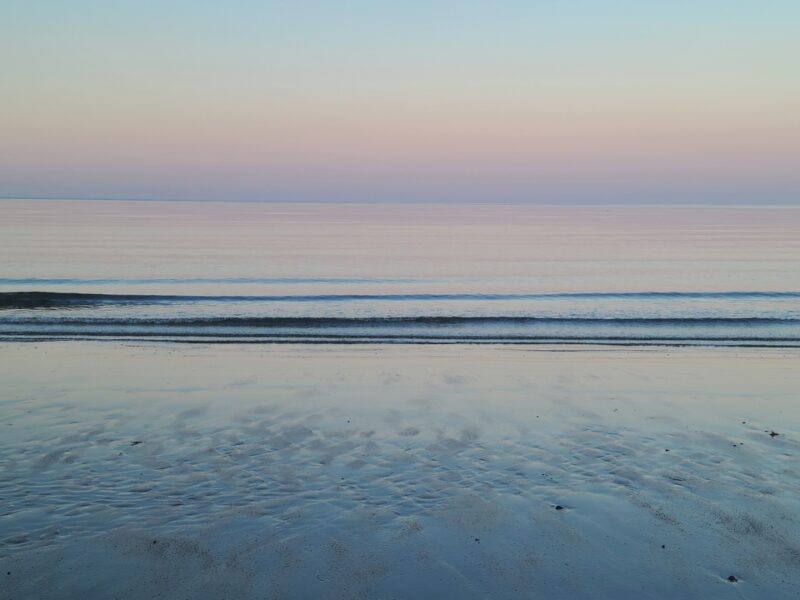 Our first night set the tone for the entire trip. It was very quiet, the water was still, and we were in the company of many eagles. At dusk, as the sky turned pink, we could see even more eagles arriving from far away in the distance, like they had been summoned. They were heading somewhere past us, further south. The vibe was peaceful, otherworldly, and somehow welcoming. In the morning we woke up to fresh bear tracks on sand recently exposed by low tide. They were at a respectable distance. We had a feeling our presence had been noted, not only by the bear but maybe even by the island itself.
Read more in November…